Let me start by saying that the best way to visit the Upper Missouri Breaks National Monument is by boat. The Monument is essentially all about the Missouri River. However, since we didn’t have a watercraft, we decided to just check it out by car. At some point, we’d like to return and kayak the for 3 days.
Before we ventured into the Monument, we stopped at the BLM Field Office in Lewistown, MT to pick up some maps and get some information. Be prepared for some gravel road driving as that’s the only way to get to some of the spots.
Below is a guide to 4 interesting stops when visiting Upper Missouri Breaks by car.
4 Interesting Stops when Visiting Upper Missouri Breaks by Car
1. Judith Landing
Judith Landing is a spot along Highway 236 where Lewis and Clark set their camp on May 28, 1805. This is also the confluence of the Judith and the Missouri Rivers. There is a pleasant campground right on the river with one electric spot and several standard sites. However, no water is available. Judith Landing is also a place from where you can float the river to James Kipp Recreation Area.
2. Coal Banks Landing
Essentially 13 miles south of Big Sandy, Coal Banks Landing is a popular spot to start floating the Missouri River. Apparently the most scenic section of the river starts 10 miles east and goes through the White Rocks Area. Unfortunately, the rocks are not visible from the banks of the river around the visitor center.
2 miles west of the Coal Banks Landing is the Virgelle Ferry which will take you across the river at any time of day. It is locally operated by a family whose house is right there. The crossing is free. While there, you can buy some home-made zucchini bread and farm fresh eggs.
On your way back to highway 87, you will go through a prairie dog town. You may have seen one in Badlands or Theodore Roosevelt National Parks but if not, check it out. The prairie dogs are cute.
3. Loma
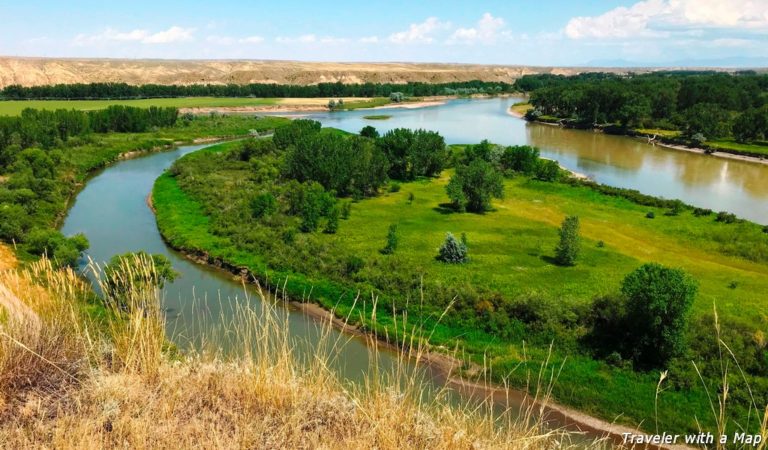
Once you cross the Marias River in Loma and turn into Loma Bridge Road, you’re going to come to a very significant historical spot – the Decision Point. It was here, at the confluence of the Missouri and the Marias Rivers that Lewis and Clark had to decide which of those two rivers was the Missouri. The party camped here from June 2nd to June 12th 1805 and explored the rivers. Finally, the captains chose the clearer river with the rocky bottom, which turned out to be the Missouri. A wrong decision could have derailed the whole expedition. There is a short trail to an overlook of the confluence of the rivers with several interpretive signs posted along the way.
4. Fort Benton
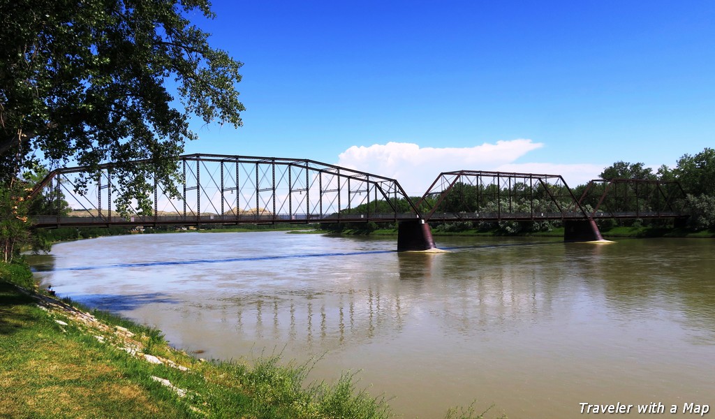
Certainly a historic town, Fort Benton boasts several museums, Upper Missouri Breaks Interpretive Center, and an attractive waterfront trail. An impressive statue of Lewis and Clark stands tall along the waterfront.The Missouri River is quite wide here. There is a boat/ canoe launch in town and a campground right next door.
